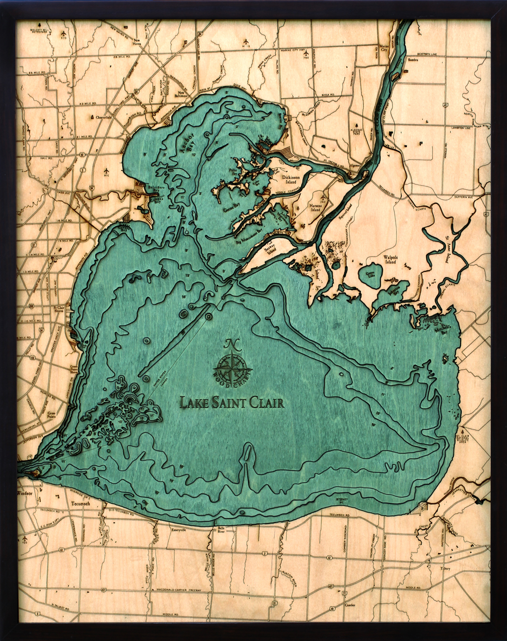
Wood Chart Lake St Clair


Wood Chart Lake St Clair
Wood Chart Lake St Clair.
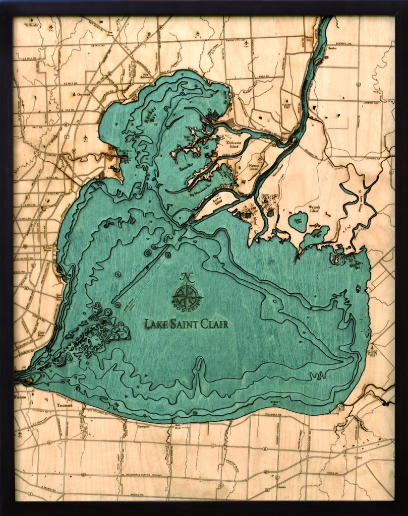
Starting with a bathymetric chart (the underwater equivalent of a topographic map), The Great Lakes Maps are laser-cut to carve the contours into sheets of Baltic birch. The layers are glued together to create a powerful visual depth. Select layers are hand stained blue so it’s easy to discern land from water, etch major byways into the land, then it is framed in a custom, solid-wood frame and protected with a sheet of durable, ultra-transparent Plexiglas.
Other maps are available based on the scenic Pacific Northwest’s volcanic coastline, the warm sandy shores of the Southwest and Southeast, the history-rich coastline of the Atlantic, and lakes from all around the continent.
Size: 31 * 25″


